Elective modules
The elective modules serve to expand and deepen the subject-specific fundamentals. Students must pass at least three of the six modules that are on offer. They are completely unrestricted in their choice of those modules, and any combination is possible.
Apart from personal interests, the following factors may help in making the right choice:
• Plans for a Master's degree course
• Clear career plans
• Compensation option for certain subjects
Students who are already homing in on a specific Master's degree or who have clear career plans in mind (such as becoming self-employed after acquiring the "Geometerpatent", the professional qualification for surveyors) can prepare themselves by choosing appropriate modules. Specific tips can be found in the study guide.
If the minimum requirements of 15 CPs can no longer be achieved in one module, another module must be passed. Credits already obtained can be credited as electives. It may, therefore, be interesting to actually take four elective modules and to list one of them as a free choice. You can also find tips about this in the study guide.
The following modules are available:
Space Geodesy and Satellite Navigation
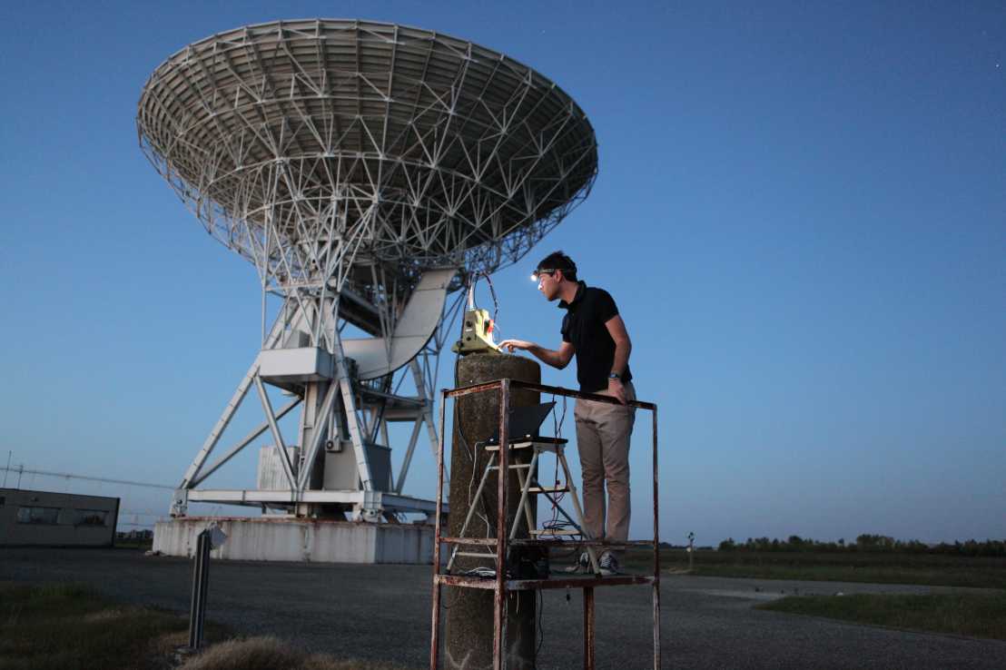
This module is focused on high-precision navigation and positioning, as well as earth observation with satellites and terrestrial measuring systems. Satellite navigation systems such as GPS or Galileo and new satellite missions open up a whole host of applications, ranging from the positioning of autonomous vehicles to the detection of changes in sea levels and climate. The elective module covers the entire chain from modern observation technologies through to analysis and interpretation of the data.
Digitisation and 3D-Modelling
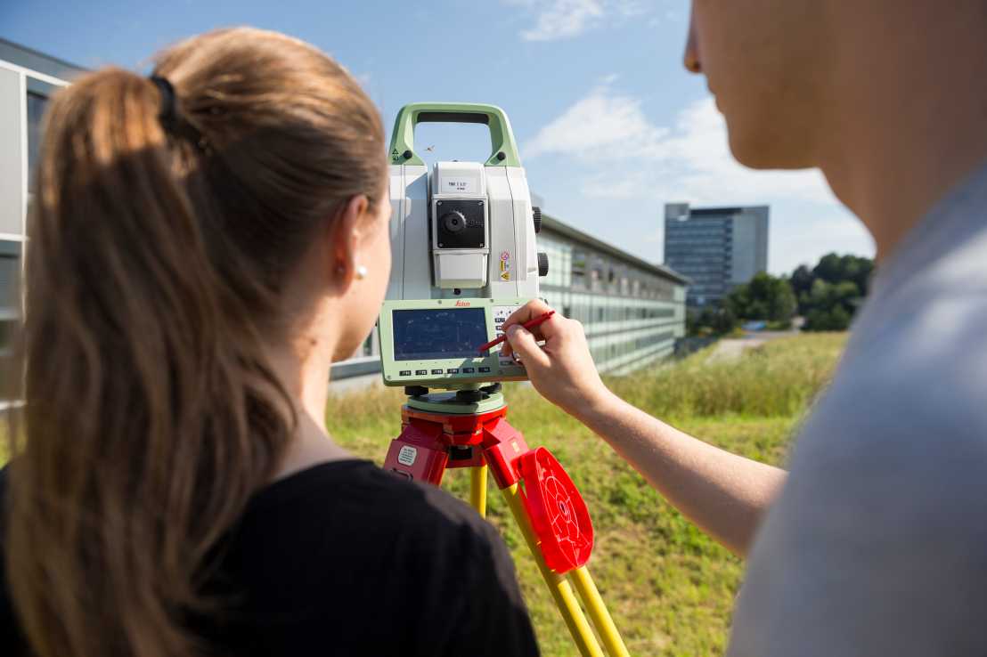
The real world is mapped in digital models with the aid of measuring instruments and cameras, which are either permanent fixtures or are integrated into vehicles, aircraft and satellites. In lectures, during surveying exercises in open countryside, programming algorithms, and working with their own measurement data, the students acquire an in-depth understanding of the essential instruments and methodology. Special attention is paid to point clouds, digital images and the information derived from them.
GIS and Cartography
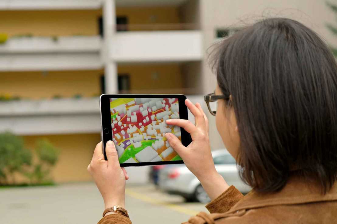
Geographic information systems (GIS), comprising tools for the analysis, visualisation and communication of spatiotemporal processes, provide an indispensable basis for decision-making. In this elective module, students acquire GIS skills from data acquisition through to human-computer interaction and how to design 2D and 3D views using new cartographic techniques for professionals and for everyday media use. They apply this know-how in programming apps for mobile devices.
Spatial and Environmental Planning
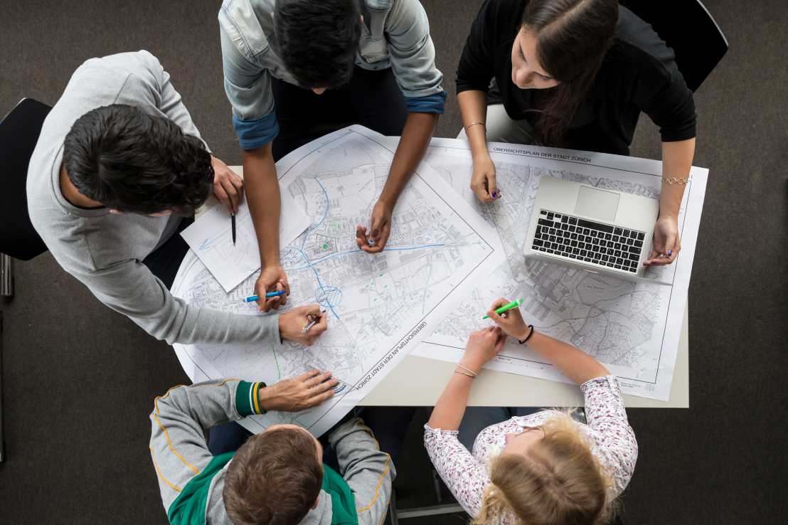
The students learn how the countryside and geospatial areas can be planned and developed, taking ecological, social and economic factors into account; which tasks arise in Switzerland and beyond; how ideas and solutions are designed, preparations are made for planning decisions, and planning processes are designed. They learn the fundamentals to enable them to identify, clarify and resolve geospatial tasks with the involvement of stakeholders from society, environment and the economy.
Transport Systems
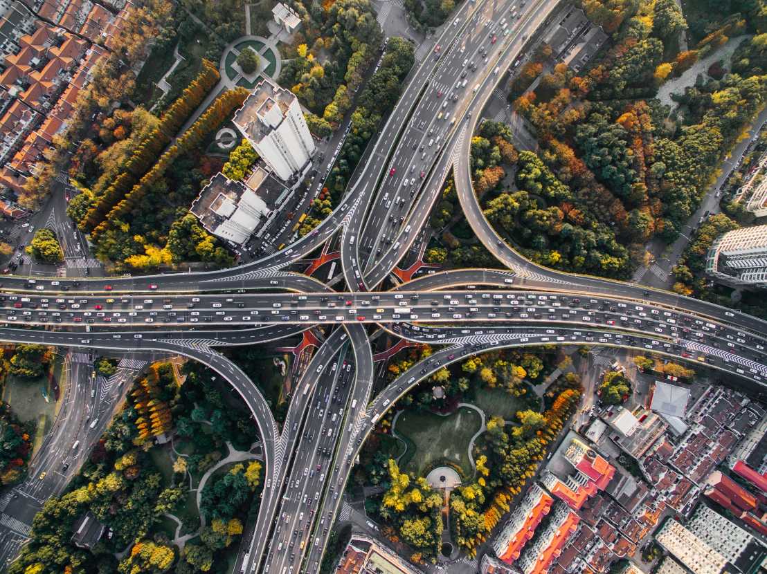
The Transport Systems module explores the planning and operation of transport systems and the way in which they are geared towards society, geospatial structures and global logistics. Automation, climate protection and globalisation are intertwined with transport. Where will we live and work in the future? How will we get around? Students learn to examine the part transport infrastructure plays in the evolution of a city and how it affects people's day-to-day lives. Numerical simulations are introduced as a key tool.
Network Infrastructure
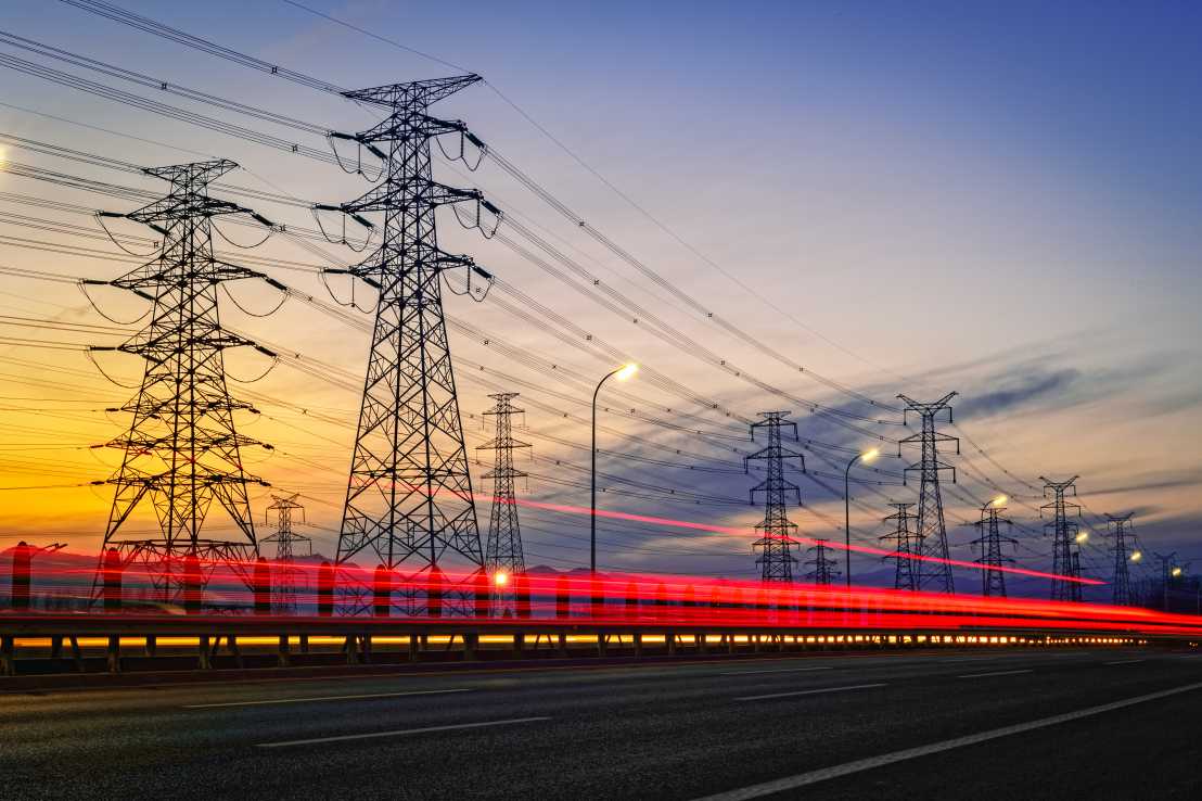
The Network Infrastructure Module provides students with a basic understanding of five important types of network infrastructure and an introduction to how these networks together provide the expected functionality in both urban and rural areas. The four types of infrastructure covered are water distribution, wastewater collection and treatment, electricity production and distribution, road and rail. As these networks combine to provide service to urban areas, students are also introduced to concepts on urban design. The courses in this module range contain civil engineering content, spatial planning content, and architecture content. All of which help increase the ability of future spatial planners to understand the different disciplines with which they must work to solve complex urban problems.