Areas of specialisation
Domain specific spacialization is possible in the following areas:
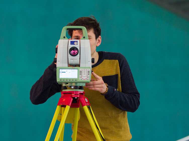
Engineering Geodesy is concerned with the recording, analysis and interpretation of data to describe the geometry, state and dynamics of structures ranging from small (e.g., machine parts) to large-scale structures (e.g., dams, rock falls). More
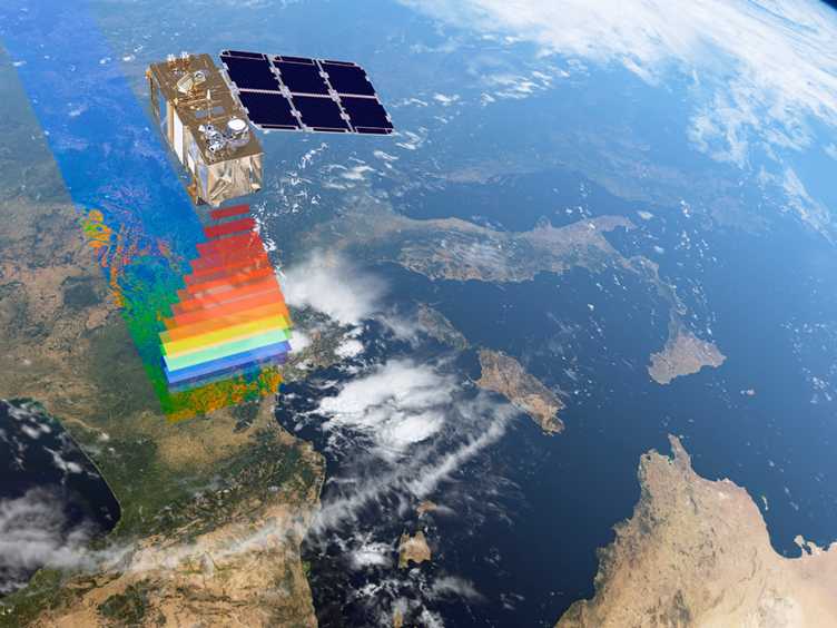
Photogrammetry and Remote Sensing focus on measurement, analysis and mapping based on images and scans obtained using a variety of sensors and data from close-range photographs to satellite images. More
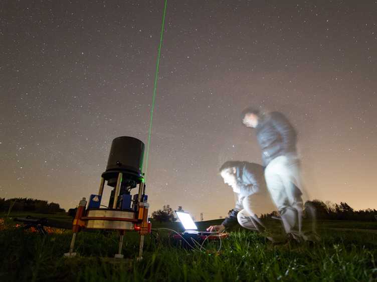
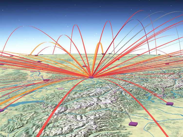
Space Geodesy focuses on measuring and observing the Earth and the environment. Geometry as well as gravity and their change in time are monitored, which includes the accurate determination of positions, rotations, and motions. More
Cartography deals with diverse aspects of cartographic design and visualisation of spatial geodata, especially cartographic generalisation and symbolisation, production technologies, topographic terrain representation, the conversion of statistical data into thematic maps, the different concepts of atlases or the design and functionality of interactive, dynamic web maps. More
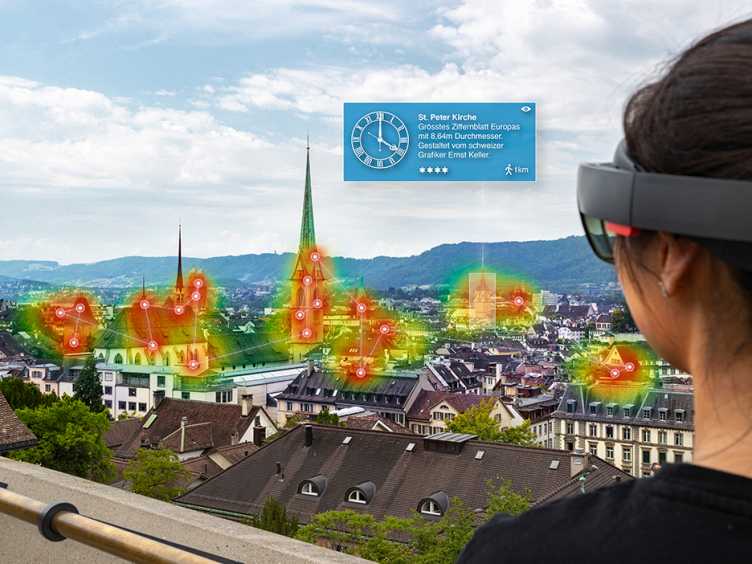
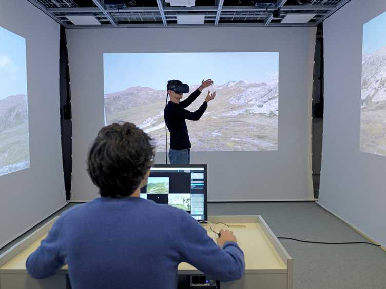
Geoinformation Engineering is concerned with methods for the analysis, modelling, and visualization of information for the support of spatio-temporal decision processes. The developed methods are applied in geospatial information technologies, such as mobile applications, control rooms, or for the planning of mobility systems. More
Spatial and Landscape Development is concerned with how our landscape and space can be planned and developed, taking into account ecological, social and economic aspects, the tasks we face in Switzerland and beyond, how ideas and solutions are designed, planning decisions are prepared and planning processes are shaped. More